Blog Posts

10.27.26
Stop Driving Blind: Turning Everyday City Vehicles Into Infrastructure Sensors
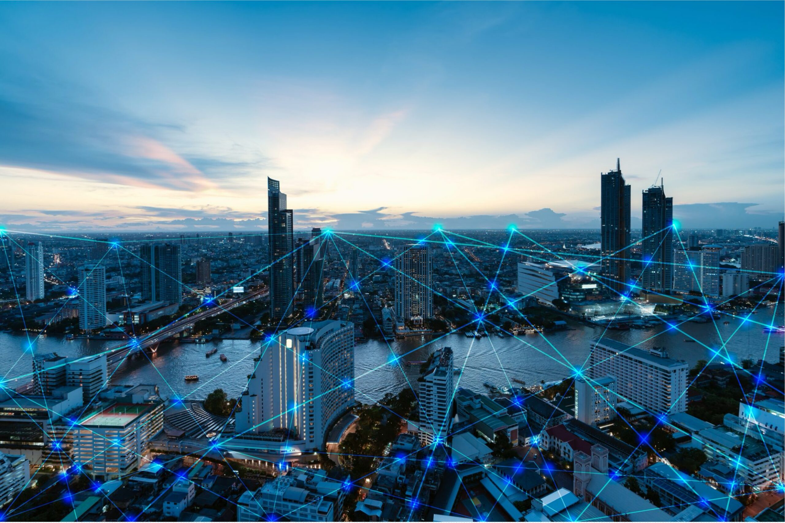
Cities have spent decades trying to understand their streets with snapshots. Traffic keeps moving, infrastructure ages and public works departments are left piecing together conditions from periodic surveys, citizen complaints and inspections. U.S. infrastructure investment has trended downward for decades, contributing to growing challenges for state and local agencies responsible for maintaining roads, bridges and other public assets.
Urban Hawk, developed by Mitsubishi Electric Automotive America, turns the municipal vehicles already crisscrossing a city into mobile infrastructure sensors. High-resolution cameras mounted on refuse trucks, service vans and other fleet vehicles capture roadway surfaces, intersections, signs, guardrails, fire hydrants, ADA ramps and other right-of-way assets as crews follow their normal routes.
There are no special survey routes to plan. Installation takes less than a day, and daily operations continue as usual. Within 96 hours of deployment, according to initial testing, cities routinely achieve more than 95% coverage simply by putting their existing fleet to work.
Artificial intelligence and machine-learning models analyze every frame, drawing on more than 200,000 miles of vision data and more than 1 million minutes of annotated footage. The system can identify immediate hazards such as open manholes, missing stop signs and roadway debris while also detecting conditions that signal slower deterioration, including fading crosswalks, pavement cracking and blocked storm drains.
Pavement conditions are scored using the established Pavement Surface Evaluation and Rating (PASER) rating system, while other assets are mapped to precise geographic coordinates. That information can then flow into a city’s existing Geographic Information System (GIS) or work-order environment, including Cityworks, Cartegraph, Maximo or SAP. Automated work orders can be generated as needed, helping crews address urgent hazards while planning routine maintenance before small problems become larger ones.
Because fleet vehicles travel the same streets repeatedly, Urban Hawk builds a historical record of changing conditions. Cloud-based imagery can support liability documentation, right-of-way records and compliance reporting, including materials related to Manual on Uniform Traffic Control Devices (MUTCD) requirements. Instead of waiting months for an inventory update, public works teams can see what is happening across their network now—and compare it with what was there before.
Rather than spreading limited resources evenly or waiting for complaints to dictate priorities, cities can identify high-risk locations and direct money and crews where they are most needed. Capital planning gains a clearer view of which corridors are deteriorating. Field crews can arrive with better information about the work ahead. And documented conditions can help cities respond to hazards sooner.
Urban Hawk is available as both a Platform-as-a-Service (PaaS) and a Data-as-a-Service (DaaS) solution, allowing municipalities to choose how deeply they want to integrate the technology. Reporting frequency, data layers and dashboard access can be customized to fit each city’s needs.
The idea is straightforward: cities already own the vehicles. Those vehicles already travel the streets. Why not let them collect the infrastructure intelligence cities need along the way?
The next time a refuse truck or municipal service van rolls past, it could be doing more than completing its route. It could be documenting the condition of the city around it—turning everyday fleet miles into actionable infrastructure data.


Subscribe for the Latest
Subscribe for the Latest
Recent Blog Posts